Civil War Era Primary Sources
Exploring a few of the thousands of primary sources related to the Civil WarCivil War Era Maps
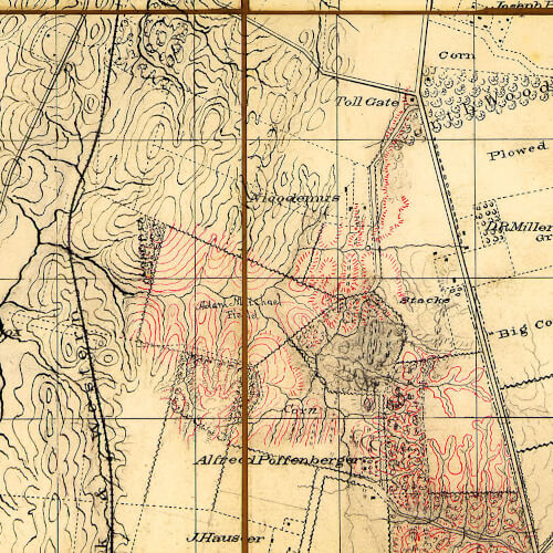
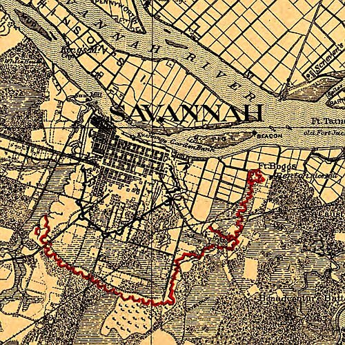
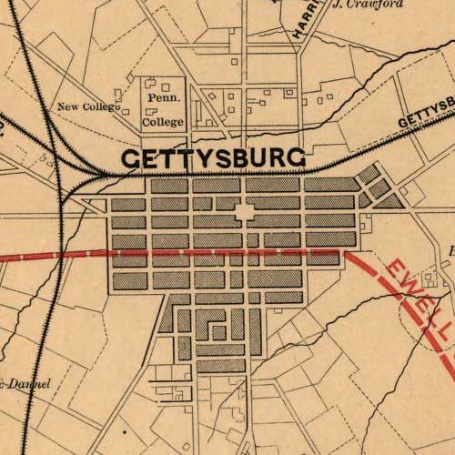
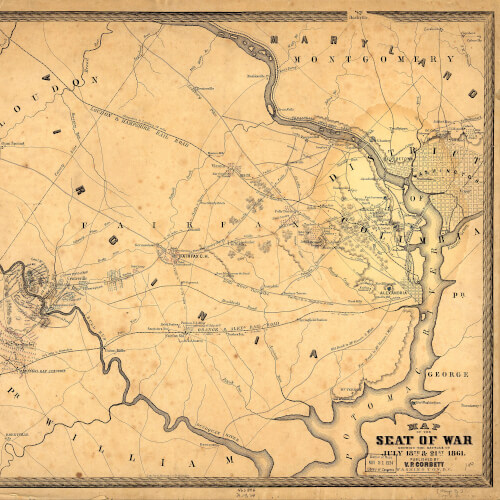
During any war, including the Civil War, commanders had to be familiar with the terrain upon which they were traveling or fighting. They had to become familiar with the topography to understand how to traverse the ground or to use it to their advantage in attacking the enemy. A commander who is familiar with the land can have a distinct advantage over his opponent. If the commander is unfamiliar with the ground or has poorly drawn map, often ends up on the defensive side of an engagement or moving around blindly in unfamiliar territory.
During the Civil War, cartographers and engineers took pride and painstaking detail to get maps as accurate as possible. These detailed maps provided commanders with both strategic and logistical data for their armies. These maps provided commanders with details about roads and general terrain features. Moving large armies required massive coordination and maps helped both Northern and Southern commanders achieve their goals.